Borehole Imaging
Borehole Imaging
IP Borehole Imaging moves beyond petrophysics with a compelling selection of geological interpretation tools.
Perform a full range of corrections on your raw image data with our state-of-the-art Image Analysis module and determine facies based on texture with Textural Facies module. Working in close harmony with other IP modules, IP Borehole Imaging brings leading edge statistical analysis, visualization and automation to bear on your reservoir characterization.
Explore the modules
included in this toolkit

Tegwyn Perkins
Geoengineering Product Champion
“IP Borehole Imaging provides a comprehendsive suite of tools that enable you to provide a complete geological interpretation. The centre piece is the Image Analysis module which combines technical complexity with ease of use.”
Image Analysis
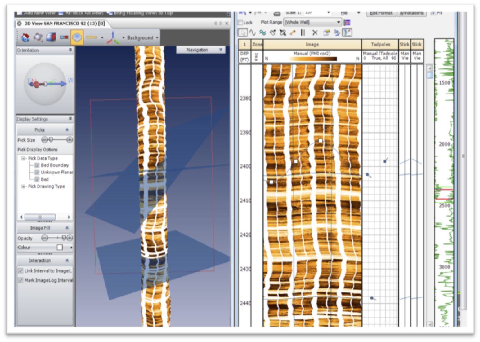
Our Image Analysis module offers a complete workflow for rapid image log processing, correction and interpretation. With new proprietary techniques and unique, patented technology, it lets you take independent control of your own image data and analysis to cut costs and end reliance on service companies.
- Process and interpret any wireline or LWD image log
- Correct and enhance raw images
- Step through image analysis workflow to control interpretation
- Turn your team into image analysis experts with our specialist training
Pictured: Visualise your geology using the image analysis module. Gain a better understanding of bed relationships using the 3D wellbore viewer.
Textural Facies Analysis
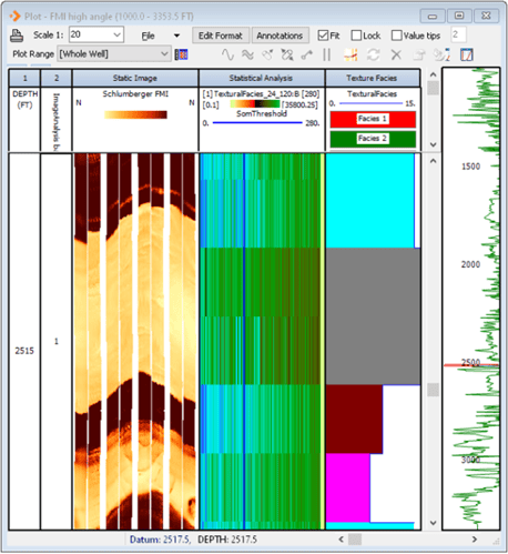
The Textural Facies Analysis module takes an Image Log as input, and derives a facies based on the textures it finds in the image. The image is divided into a series of tiles, and then a Frequency Transform is applied to the tiles to examine each tile in terms of it's frequency content. Low frequency content being interpreted as coarse texture, and high frequency being fine texture.
Pictured: Take an image log as input to derive a facies based on textures.
Explore IP
From porosity and pore pressure to reservoir productivity, IP gives you an incredibly capable and customizable solution to share and interpret well logs and many other vital data types.
Toolkits
IP Foundation
Contains all the tools and modules required for the complete management of subsurface log data including loading, log plots, x-plots, histograms, editing, filtering, depth shifting, exporting etc. Carry out the full, deterministic, petrophysical workflow – Includes Clay Volume, Porosity/Water Saturation, Cut-Off and Summations modules plus NMR Interpretation. Also includes Monte Carlo Analysis for uncertainty analysis, Chrono Log, IP Power Tools and the ability to create you own IP applications.
Advanced Formation Evaluation
Carry out complex interpretations with Mineral Solver, and characterize your reservoir with Saturation Height Modeling, Hydraulic Flow Units, and Formation Testing modules.
Learn More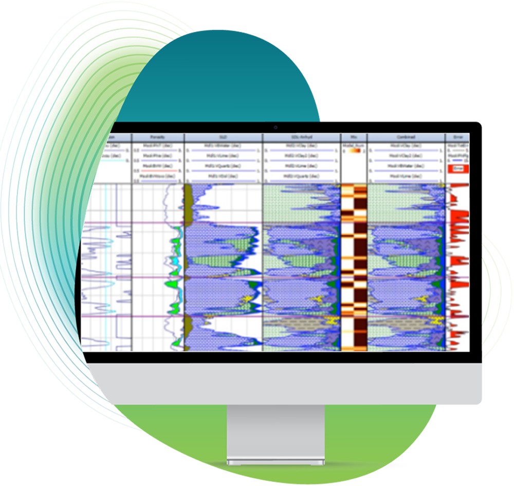
Borehole Imaging
Perform enhancements and corrections to Image Log data, utilize the vast amount of display and interpretation options specifically tailored for all the main image log tool types on the market.
Learn More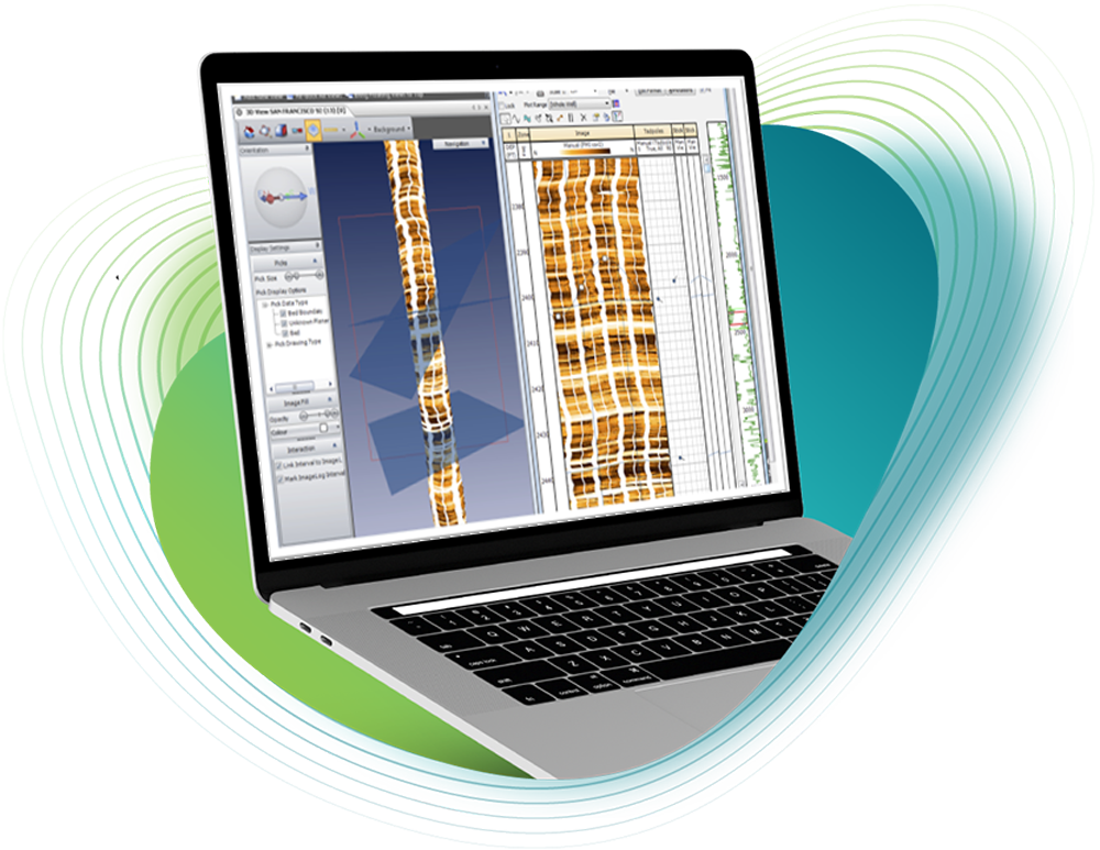
Cased Hole
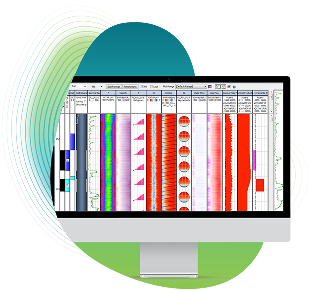
Assess the downhole integrity of your wells with the casing and cement evaluation modules, while also monitoring reservoir fluid saturations and the production performance of each well.
Geomechanics
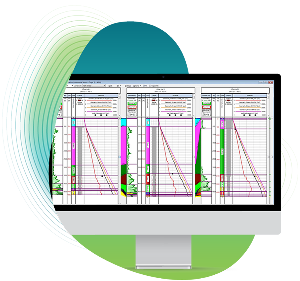
Assure your well’s stability and maximize production lifetime using our suite of Geomechanics modules. Calculate pore pressures, determine wellbore stability and calculate risk of sand production.
Geophysics
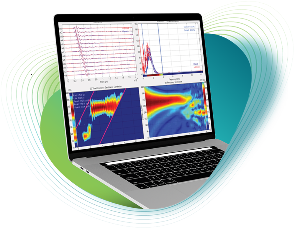
Bring your Petrophysics and Geophysics teams together to calculate the downhole acoustic properties of the formation, carry out fluid substitution analysis and create synthetic seismograms.
Machine Learning
Carry out data repair, prediction of missing curves, or key reservoir properties using minimal source data. Classify reservoir rock types using Self Organizing Maps and Cluster Analysis.
North Sea Database
Our database is designed to streamline exploration efforts across the Norwegian North Sea. Providing DISKOS members this powerful tool will save you time and money, offering first-hand verified data that ensures accuracy and reliability.

